M+N Geomatics has vast experience covering all aspects of the surveying industry. Our geomaticians are mobile and flexible, and stay abreast technologically in the midst of a fast-evolving industry, using the latest computer, GIS, robotic total stations and drone technologies, to mention but a few. We are constantly addressing huge new changes and following new trends in the market.
Our range of land surveying services includes the following:
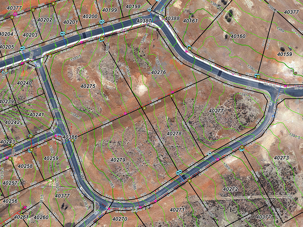
- Cadastral consulting and surveying: this field deals with the defining of beacons and boundaries of properties and any other land real right that is to be registered in the Deeds office and includes typically the following:
- Survey of new township layouts and framing of the General Plans;
- Establishment and re-establishment of existing erf boundaries;
- Subdivision of properties (Urban and Rural);
- Consolidation of properties (Urban and Rural);
- Servitudes, Long term Lease and usufruct areas;
- Sectional Title Surveys and consulting;
- Sectional title survey and consulting: This is a form of ownership where multiple ownership and real rights are vested in one property. Typical examples are a block of flats, duet and townhouse type developments where buildings are divided into sections and common property. Exclusive use areas can be created to be enjoyed exclusively by the owner of the linked Section.
- Land Audit: entails spatial identification of land, inspecting it, gathering all information regarding status of land and representing information in a usable format regarding ownership, use and zoning of properties in a demarcated area.
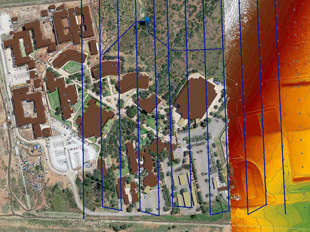
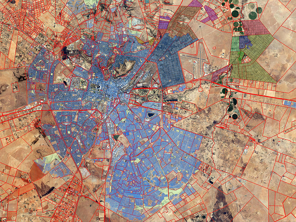
- Geographical information systems (GIS): a computer system designed to capture, store, manipulate, analyse, manage, and present spatial or geographic data. Encompassing more than just a computer system, the strength of GIS lies in its ability to analyse spatial relationships between different data layers that can be presented in a map or table formats. A picture says a thousand words. Typical GIS applications is to store and manage assets or features that have a spatial component. Examples: Property maps and portfolios, Municipal Services networks, Land use Schemes to mention a few. Most probably the most valuable aspect of a GIS system is to enable decision makers to make timeous and informed decisions.
- Town planning, consulting and project management related to urban and property development. Urban development is a system of residential, commercial and industrial expansion or densification that creates cities, where residential areas are the primary focus. This expansion occurs into unpopulated areas and/or the renovation of decaying regions. Property development, also called real estate development, is essentially the process of developing buildings or land into a higher use value. In terms of Municipal Planning By-laws such developmental activities requires consent from the Local Municipality.
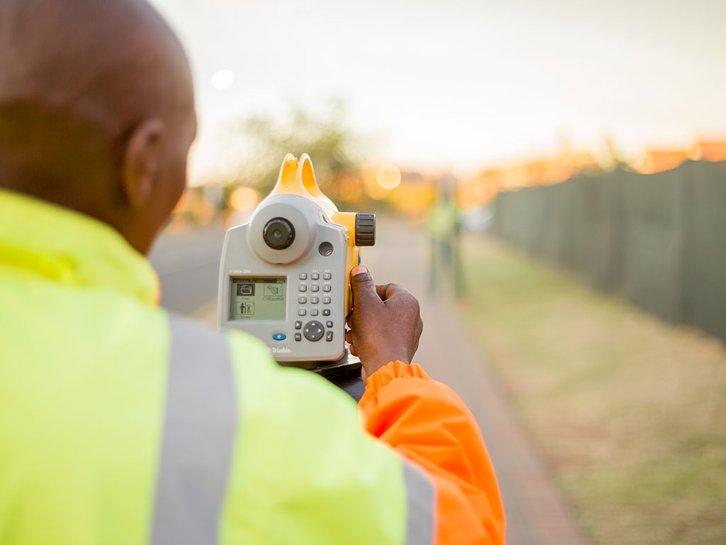
- Engineering surveying: those activities involved in the planning and execution of surveys for the development, design, construction, operation and maintenance of civil and other engineering projects.
- Topographical surveying: The purpose of topographic surveys is to collect positional data about natural and man-made features on the land, as well as its elevations. The gathered data for a piece of land are manipulated and presented as points, lines and polygons. Interpolation is done between points with elevation which allows contour lines to be generated and plotted on a map to be used for planning by engineers and other professionals.
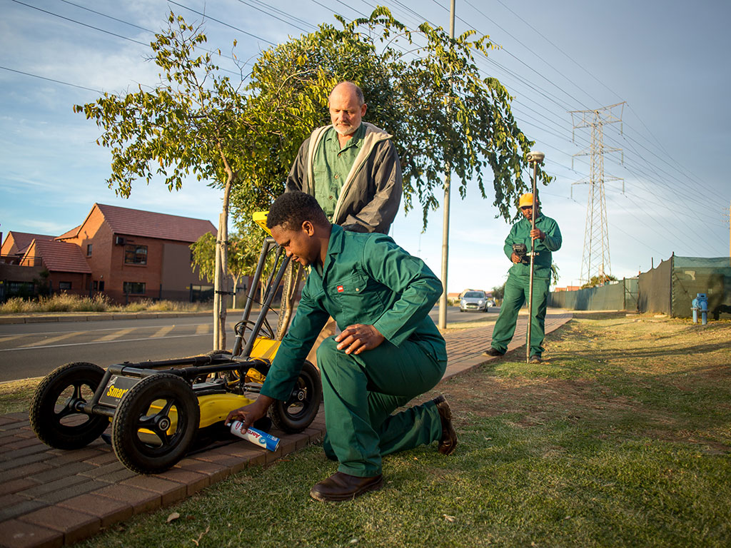
- Services detection (underground): the process of identifying and labelling public utility mains that are underground. These mains may include lines for telecommunication, electricity distribution, natural gas, fibre optics, traffic lights, street lights, storm drains, water mains, and wastewater pipes. The technology used is mainly Ground Penetrating Radar (GPR).
- Bathymetric surveying (hydrographic): the science of measurement and mapping of underwater features. The results are normally plotted to produce a bathymetric contour map, which is a plan showing contour lines of the water body floor/bed. This data can be used to calculate dam volumes, determine abstract points from rivers etc. The technology used is a combination of GPS/GNSS and survey grade sonar systems.
- Photogrammetric surveying (drone surveying): specialising in the science of obtaining reliable spatial information from photographic images. Photogrammetrists analyse aerial and terrestrial photographs to obtain information about physical objects and the environment.
- LIDAR (Light Detection and Ranging) surveying: a surveying method that measures distance to a target by illuminating the target with pulsed laser light and measuring the reflected pulses with a sensor. Differences in laser return times and wavelengths can then be used to make digital 3-D representations of the target. The advantage of this method is that penetration through dense vegetation cover can be obtained. The significance thereof is that in certain applications a LIDAR survey is the only feasible method of survey.
Equipment
The company is equipped with state-of-the-art hardware and software, which cover all aspects of field surveying, computing and draughtsmanship. Services are delivered in a professional manner customised to our clients’ needs.
Please do not hesitate to contact us for more information about our range of services and how we can help you with all your land surveying needs.